ZIP Code 21005 | Guatemala
The ZIP Code 21005 belongs to the district San Carlos Alzatate in the province of Jalapa. Check out below the map to see what zone is included in this ZIP Code.
The postal zone 21005 has an area of 89.94 km2 and a perimeter of 40.68 km. This postal area is located between latitudes 14.5301 and 14.4202 and longitudes -90.1298 and -90.0223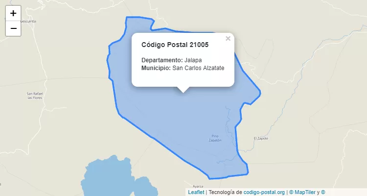
Postal Code San Carlos Alzatate
The city San Carlos Alzatate belongs to the canton San Carlos Alzatate. For other districts, go back to San Carlos Alzatate ZIP Code and find the corresponding district.
State Jalapa
The canton San Carlos Alzatate belongs to Jalapa. Enter the specific page for Jalapa ZIP Code to view all cantons of this province.