ZIP Code 14009 | Guatemala
The ZIP Code 14009 belongs to the district San Pedro Jocopilas in the province of Quiché. Check out below the map to see what zone is included in this ZIP Code.
The postal zone 14009 has an area of 294.94 km2 and a perimeter of 102.99 km. This postal area is located between latitudes 15.2391 and 15.0859 and longitudes -91.3234 and -90.9894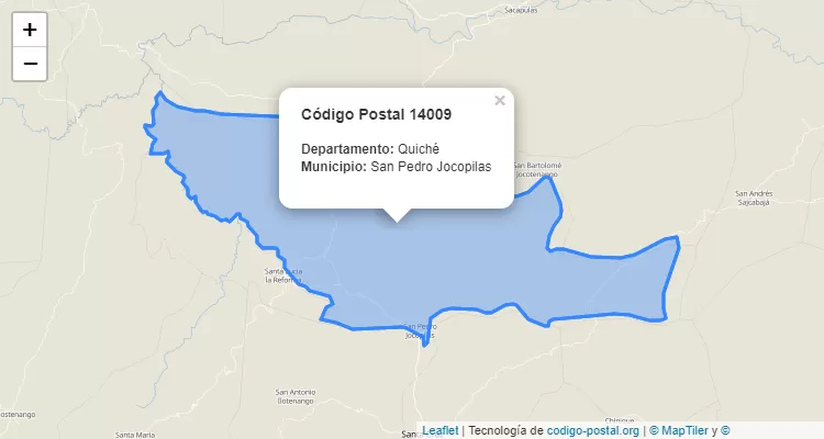
Postal Code San Pedro Jocopilas
The city San Pedro Jocopilas belongs to the canton San Pedro Jocopilas. For other districts, go back to San Pedro Jocopilas ZIP Code and find the corresponding district.
State Quiché
The canton San Pedro Jocopilas belongs to Quiché. Enter the specific page for Quiché ZIP Code to view all cantons of this province.