ZIP Code 09018 | Guatemala
The ZIP Code 09018 belongs to the district San Francisco la Union in the province of Quetzaltenango. Check out below the map to see what zone is included in this ZIP Code.
The postal zone 09018 has an area of 16.89 km2 and a perimeter of 21.10 km. This postal area is located between latitudes 14.9463 and 14.9044 and longitudes -91.5805 and -91.5168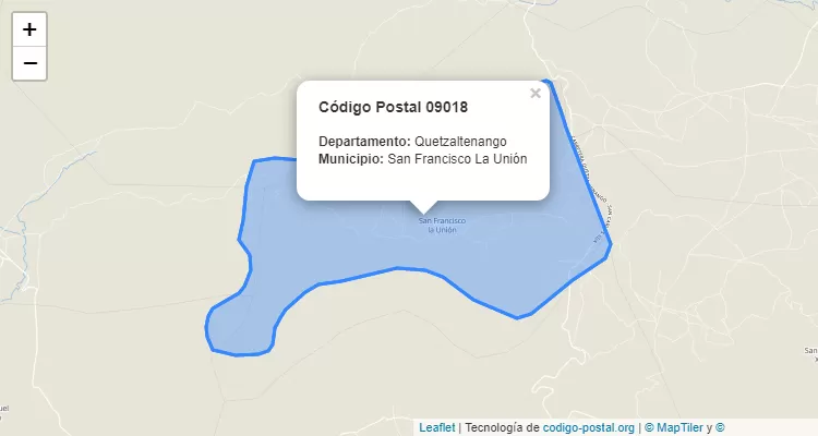
Postal Code San Francisco la Union
The city San Francisco la Union belongs to the canton San Francisco la Union. For other districts, go back to San Francisco la Union ZIP Code and find the corresponding district.
State Quetzaltenango
The canton San Francisco la Union belongs to Quetzaltenango. Enter the specific page for Quetzaltenango ZIP Code to view all cantons of this province.