ZIP Code 08003 | Guatemala
The ZIP Code 08003 belongs to the district San Francisco el Alto in the province of Totonicapán. Check out below the map to see what zone is included in this ZIP Code.
The postal zone 08003 has an area of 72.64 km2 and a perimeter of 46.80 km. This postal area is located between latitudes 15.0269 and 14.9243 and longitudes -91.5421 and -91.4055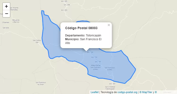
Postal Code San Francisco el Alto
The city San Francisco el Alto belongs to the canton San Francisco el Alto. For other districts, go back to San Francisco el Alto ZIP Code and find the corresponding district.
State Totonicapán
The canton San Francisco el Alto belongs to Totonicapán. Enter the specific page for Totonicapán ZIP Code to view all cantons of this province.