ZIP Code 04013 | Guatemala
The ZIP Code 04013 belongs to the district San Andres Itzapa in the province of Chimaltenango. Check out below the map to see what zone is included in this ZIP Code.
The postal zone 04013 has an area of 67.67 km2 and a perimeter of 37.20 km. This postal area is located between latitudes 14.6597 and 14.5447 and longitudes -90.9080 and -90.8150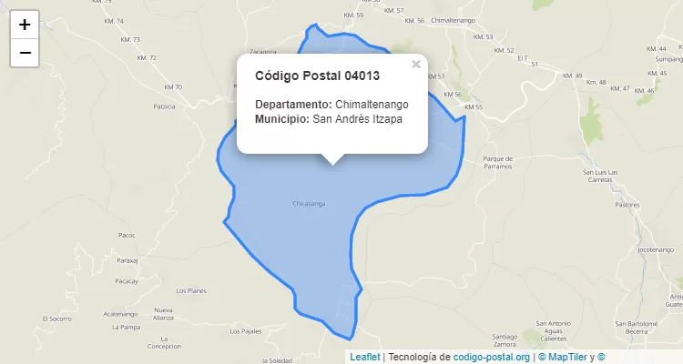
Postal Code San Andres Itzapa
The city San Andres Itzapa belongs to the canton San Andres Itzapa. For other districts, go back to San Andres Itzapa ZIP Code and find the corresponding district.
State Chimaltenango
The canton San Andres Itzapa belongs to Chimaltenango. Enter the specific page for Chimaltenango ZIP Code to view all cantons of this province.