ZIP Code 04008 | Guatemala
The ZIP Code 04008 belongs to the district Pochuta in the province of Chimaltenango. Check out below the map to see what zone is included in this ZIP Code.
The postal zone 04008 has an area of 129.51 km2 and a perimeter of 60.20 km. This postal area is located between latitudes 14.6105 and 14.4532 and longitudes -91.1285 and -91.0030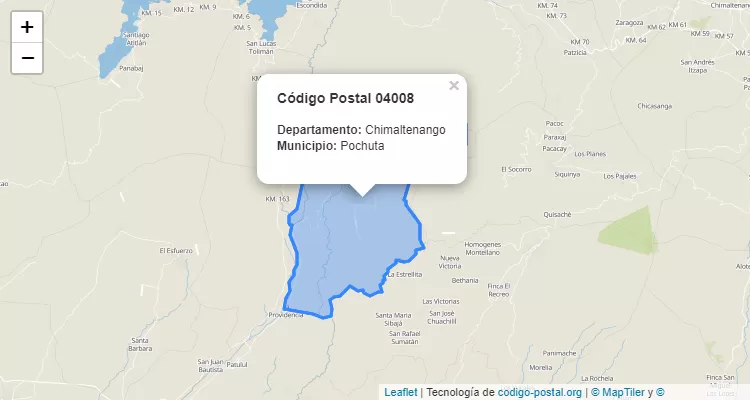
Postal Code Pochuta
The city Pochuta belongs to the canton Pochuta. For other districts, go back to Pochuta ZIP Code and find the corresponding district.
State Chimaltenango
The canton Pochuta belongs to Chimaltenango. Enter the specific page for Chimaltenango ZIP Code to view all cantons of this province.