ZIP Code 02007 | Guatemala
The ZIP Code 02007 belongs to the district Sanarate in the province of El Progreso. Check out below the map to see what zone is included in this ZIP Code.
The postal zone 02007 has an area of 144.18 km2 and a perimeter of 62.11 km. This postal area is located between latitudes 14.8092 and 14.6961 and longitudes -90.1749 and -90.0037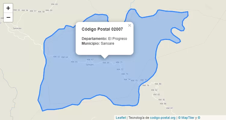
Postal Code Sanarate
The city Sanarate belongs to the canton Sanarate. For other districts, go back to Sanarate ZIP Code and find the corresponding district.
State El Progreso
The canton Sanarate belongs to El Progreso. Enter the specific page for El Progreso ZIP Code to view all cantons of this province.